
LIDAR sensors for the Improvement of Spray Application Techniques [Student]
Introduction
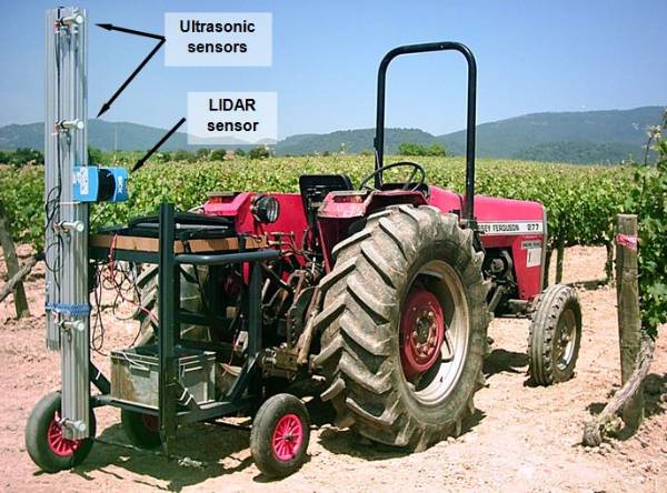
Crop protection is a key issue in farm management. It involves dealing with important risks and expensive pesticide products. Most of these products are to be applied by means of sprayers. Spraying techniques have been continuously evolving in recent decades. However, it is not only the sprayer itself, but everything related to the application of plant protection products (PPP) that needs to be taken into account in order to improve the results obtained. The information on geometrical and structural characteristics (height, width, volume, leaf density, leaf area, etc.) of plantations can help to optimize many agricultural tasks, such as irrigation and fertilization, as well as pruning and crop training techniques, among others[1]
Structural and geometric parameters of trees have been traditionally obtained using time-consuming and costly manual measurements, which are also destructive in the case leaves are removed to measure foliar surfaces. In recent years, different instruments and measurement systems for characterizing the canopy in a non-destructive, contactless, fast, accurate and repeatable way have appeared as alternatives to manual methods. The main systems used for the characterization of plants involve the use of electronic data acquisition systems associated with sensors based on different physical measuring principles. [1]
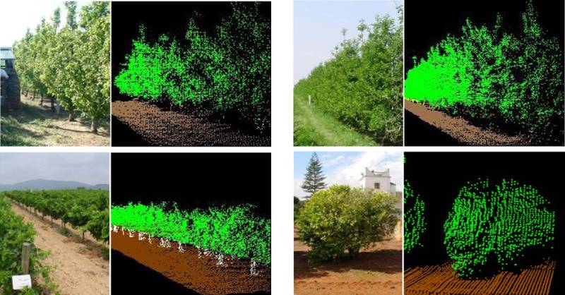
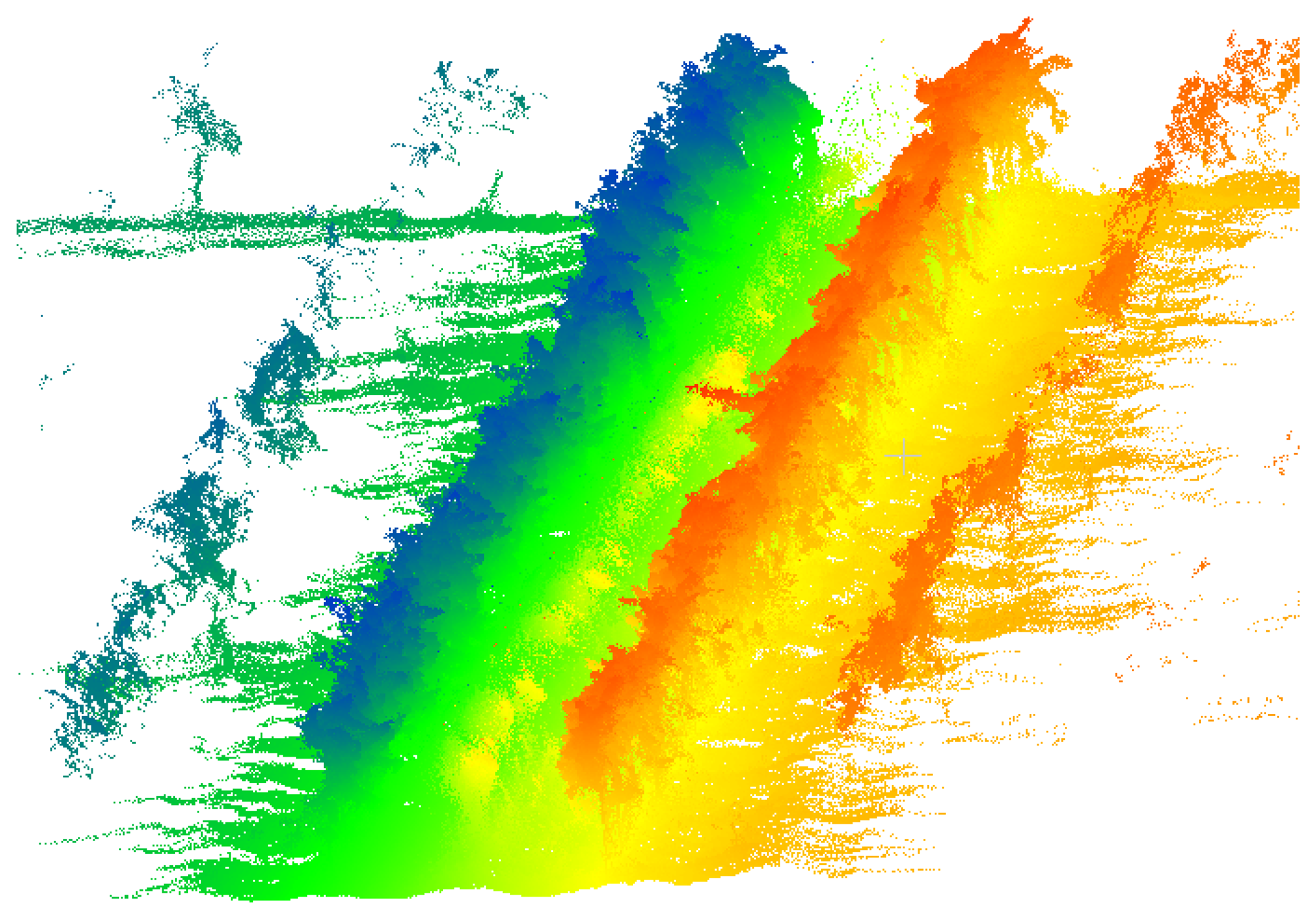
Laser scanning sensors (Light Detection and Ranging—LIDAR scanners), are probably the most widely used and promising techniques for characterizing tree crops, while standing out for the possibility of providing three-dimensional models of plantations. Additionally, data from these sensors can be synchronized with their spatial coordinates obtained by geo-referencing systems (e.g., GPS), it is possible to obtain maps of the parameters of interest of the plots analysed: canopy volumes, Leaf Area Index (LAI), crop foliage density, 3D crop model, etc.[1]
Technology Background
LIDAR systems base their operation on the measurement of the distance between an emitter and a target object using pulsed sound waves or laser light, respectively.
The distance is determined by measuring the time taken for the pulse to travel the distance from the emission point to the detection point after reflecting off the object (ultrasonic sensors and time-of-flight LIDAR) or, alternatively, by measuring the phase difference between the incident and the reflected waves (phase-shift LIDAR). The main disadvantages of ultrasonic sensors come from their low spatial resolution, highly divergent sonic cones, lack of scanning systems and potential interference between proximal sensors.[1]
Related Scientific Papers
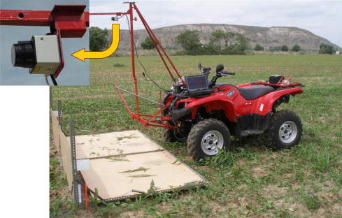
1. Potential of a terrestrial LiDAR-based system to characterise weed vegetation in maize crops[4]
A terrestrial-based LiDAR system for weed detection in maize was developed. The authors examined whether different species can be precisely discriminated by their height. LiDAR sensors provided higher spatial and temporal sampling resolutions.
References
[1] Gil, E.; Arnó, J.; Llorens, J.; Sanz, R.; Llop, J.; Rosell-Polo, J.R.; Gallart, M.; Escolà, A. Advanced Technologies for the Improvement of Spray Application Techniques in Spanish Viticulture: An Overview. Sensors 2014, 14, 691-708.
[2] Electronic characterization of vegetation (phenotyping)
[3] J.R. Rosell and R. Sanz (2012) A review of methods and applications of the geometric characterization of tree crops in agricultural activities. Computers and Electronics in Agriculture Volume 81, February 2012, Pages 124-141
[4] Dionisio Andújara, Alexandre Escolàb, Joan R. Rosell-Polob, César Fernández-Quintanillaa and José Dorado (2012) Potential of a terrestrial LiDAR-based system to characterise weed vegetation in maize crops. Computers and Electronics in Agriculture Volume 92, March 2013, Pages 11-15.