
GNSS (Global Navigation Satellite Systems) [Farmer]
Introduction
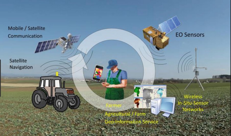
Global Navigation Satellite System (GNSS) is a satellite navigation system with global coverage that uses satellites to provide autonomous geo-spatial positioning.[1] The satellites provide signals from space that transmit positioning and timing data to GNSS receivers. The receivers then use this data to determine location[2] and also provide navigation or tracking the position of something fitted with a receiver.[1]
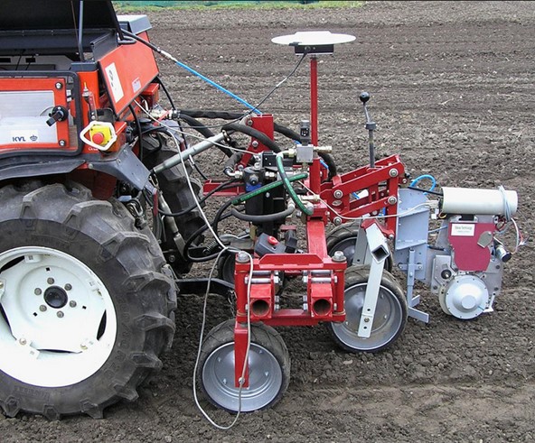
In agriculture they are used to auto guide and track agricultural vehicles (the guidance of vehicles using satellite-based positioning equipment). This technique reduces skips and overlaps, lower’s operator fatigue and enhances the ability to work in poor visibility conditions. Another important use is on the management of crop health.[3]
| Find out more about EGNOS: | Learn more about the Galileo system: |
Uses of the GNSS systems
GNSS systems are used for:
- Precise spacing for planting vines and trees
- Creation of auto-steerable rows for ease of operations
- Reduction of labour costs and increased efficiency
- All the operational functions where the variable rate principle is involved are connected with in-field motion of machinery[5]
Benefits from GNSS systems use
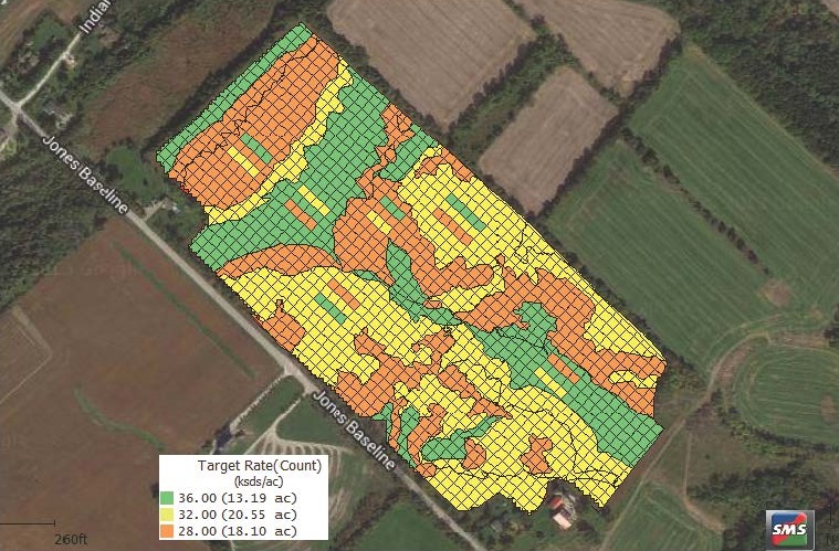
- Precision soil sampling, data collection, and data analysis, enable localized variation of chemical applications and planting density to suit specific areas of the field
- Accurate field navigation minimizes redundant applications and skipped areas, and enables maximum ground coverage in the shortest possible time
- Ability to work through low visibility field conditions such as rain, dust, fog and darkness increases productivity.
- Accurately monitored yield data enables future site-specific field preparation
- Elimination of the need for human “flaggers” increases spray efficiency and minimizes over-spray[6]
- Reduction on fuel consumption
- Reduction of waste and over-application of fertilizers and herbicides
- Seeds consumption reduction
- Extended equipment lifetime due to optimized usage[7]
References
[1] en.wikipedia.org/wiki/Satellite_navigation
[2] gsa.europa.eu/european-gnss/what-gnss
[3] Ikokou B. G (2013), GNSS applications for agricultural practices, PositionIT, pages 59-65.
[4] earth2observe.eu/?p=5126#prettyPhoto
[5] Bochtis D., (2013), Satellite based technologies as key enablers for sustainable ICT-Based agricultural production systems, 6th International Conference on Information and Communication Technologies in Agriculture, Food and Environment (HAICTA 2013), Procedia Technology pages 4-8
[6] gps.gov/applications/agriculture
[7] Giannopapa C., Oren G., (2011), Views on Public Perception and International Aspects of the European Space Flagship Programmes Galileo/EGNOS and GMES, European Space Policy Institute, ESPI, Report 33, pages 28
[8] Griepentrog, H. W., Jaeger, C. D., & Paraforos, D. S. (2013). Robots for field operations with comprehensive multilayer control. KI-Künstliche Intelligenz, 27(4), 325-333
[9] Pérez Ruiz, M., & Upadhyaya, S. (2012). GNSS in precision agricultural operations. Intech.
[10] ontariograinfarmer.ca/2015/12/01/understanding-precision-agriculture-9
Feature Image Source: therobotreport.com/top-10-technologies-in-precision-agriculture/